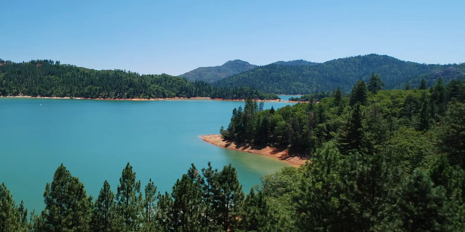
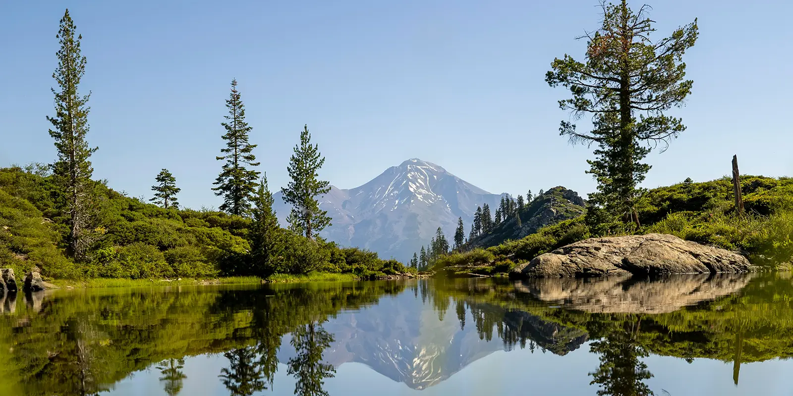
Gorgeous Lake Shasta in Northern California is open for business! This amazing work of nature is almost full of water in February 2024 and expected to be at full pool capacity soon. Visitors can hurry on up to secluded Lake Shasta for springtime, summer, and fall fun in and around pristine, sparkling waters amid luscious mixed-oak woodland, mixed conifer-oak woodland, and Douglas fir forests.
What Lake Shasta Is Known For
Lake Shasta lies in Shasta County, in Northern California. Interstate 5 runs north/south across its Pit River Bridge. It is the largest man-made reservoir in California and home to three incorporated cities: Anderson, Redding, and Shasta Lake City. The Shasta Lake region is in the Shasta Unit of the Whiskeytown-Shasta-Trinity National Recreation Area.
Shasta Lake and Lake Shasta are names used interchangeably for the lake, but U.S. Forest Service calls it Shasta Lake. The Shasta Lake Scenic Byway starts at Shasta Dam Boulevard and Lake Boulevard. It runs west to a vista that offers breathtaking views of the Three Shastas, Shasta Dam, Shasta Lake, and Mount Shasta.
The 19th century copper mining, ghost town of Kennett lies sleeping under Shasta Lake fish roaming the lake. Kennett is 400-feet underwater (at full pool) behind Shasta Dam. Dozens of stores, a hotel, 40 saloons, a hospital, an opera house, and a schoolhouse once called Kennett home.
Houseboating on Lake Shasta
Shasta Lake is the “Houseboat Capital of the World” because it reportedly houses more houseboats than any other single body of water in the world. According to Houseboat Magazine’s Facebook friends, Shasta Lake is the fifth most popular houseboat lake in the U.S.
About halfway up the McCloud Arm of Shasta Lake, visitors can tour underground caverns on both sides of the arm. The Lake Shasta Caverns National Natural Landmark offers tours on a Dinner Cruise vessel or a guided catamaran excursion. These caverns begin forming 250 million years ago.
Shasta Lake’s shores encompass hundreds of bays and coves. Parts of shoreline are “restricted” Bald Eagle or Osprey choose the lake for year-round nesting sites. The Klamath Basin National Wildlife Refuge is 130 miles north of Shasta Lake with six refuges where spectacular migrations of geese, eagles, and other birds live in and migrate to.
The McCloud River, Pit River, Sacramento River, Salt Creek, Squaw Creek, and scores of other smaller streams feed Shasta Lake. Several small islands dot its pools and arms. A large pool forms Shasta Lake’s southeastern section. The rivers form the lake’s McCloud Arm, Pit Arm. and Sacramento River Arm.
Shasta Lake Water Levels
Shasta Lake is at full pool capacity when the elevation of the water surface is 1067 feet above sea level, which affords the lake approximately 370 miles of shoreline. Even when Shasta Lake hit its lowest point in known history in 1977-78, the lake still retained a 124-mile shoreline.
In fall 2022, Shasta Lake began recovering from three years of its driest years in its recorded history. Although three major rivers and dozens of streams feed Shasta Lake, it collects 90% of its water from rain and 10% from snowmelt. 2024 looks to bring Shasta Lake up to full capacity.
When weather conditions favor Shasta Lake abundantly, it provides flood control and 24/7 electricity from the Shasta Power Plant, and water for farming, environmental, and municipal purposes, plus all the recreational activities available throughout California’s Central Valley.
Best Time to Visit Shasta Lake
Most people visit Shasta Lake during the summertime, the most popular months for water sports and splashy fun. Fall, with autumn colors, and spring, with spring wildflowers, are the best times for hiking. With five trails right off the lake, and tons more in the surrounding in the Shasta-Trinity National Forest and all around the Redding area, Shasta Lake trends.
Shasta Lake is becoming more popular with visitors in the wintertime. Winter holidays at Shasta Lake come with natural seclusion in lush forested mountains. Off-season houseboat vacations feature wonderful accommodations on the water. Rates also drop during off-season.
From mid-June to mid-September, temperatures range from 80°F to above 90°F at Shasta Lake. July is the hottest month with an average high of 97°. Mid-November to the start of March brings on an average daily an average daily high temperature below 62°F.

Things to Do on Lake Shasta
Expect spotty or no cell phone service at Lake Shasta. Book Lake Shasta campsites at reservation.gov. The Forest Service manages seven public ramps with parking areas, which provide access to most areas around the lake.
Lake Shasta features various camping facilities, ranging from primitive to luxurious. Nine marinas and a number of resorts offer rental cabins and motel accommodations. RV parks and campgrounds with electric hook-ups, swimming pools, and showers spread around the lake. There are over 300 miles of shoreline where camping is permitted.
The Forest Service operates four campgrounds on Shasta Lake which are accessible only by boat in remote areas. Boat-in camps have fire rings, picnic tables, and vault toilet facilities. Users are advised to bring their own water or to boil any surface water for at least five minutes.
Rent a houseboat. Six out of the nine marinas on Lake Shasta rent houseboats, along with other houseboat rental establishments. Most rentals require a minimum three-night reservation, but they run up to seven-night bookings. Extra budget expenses include gas and food.
Go Fishing!
Shasta Lake is a two-story impoundment and provides habitat for a coldwater fish. Coldwater fish species habitat in the lake is good; Limited habitat for warm water fish species is because of the lack of cover, steep-sided banks, and water level fluctuations. The bass and trout species make up the largest fish populations in Shasta Lake.
Abundant fish species roam around Shasta Lake. Species include: largemouth, smallmouth, and spotted bass, bluegill, brown bullhead, carp, channel and white catfish, black crappie, black fish, Sacramento squawfish, Sacramento sucker, Chinook salmon, riffle sculpin, channel squawfish, green sunfish, white sturgeon, and brown and rainbow trout.
Explore the Lake Shasta Caverns National Natural Landmark, open from 8:00 a.m. to 4:30 p.m. seven days a week. A typical visit commences with a boat ride, a bus trip to the caverns, and finally climbing through the caverns. See and do:
- Calcite formations
- Underground Caverns
- Guided tours
- Lake and mountain tour
- Bus rides through the hills
- Catamaran tours across the McCloud Arm
The U.S. Bureau of Reclamation operates the Shasta Dam and the Shasta Dam Visitor Center. Visitors can schedule Top of the Dam Tours in advance Monday through Friday from 8:00 a.m. to 4:30 p.m. The center presents the dam’s history, a tour of the power plant operations, and related information.
The Chappie-Shasta OHV Vehicle Area features over 250 miles of roads and trails open to motorcyclists, all-terrain vehicle drivers, and four-wheelers on 52,000 acres. It is near the massive Shasta Dam, with eight discovery points on old mining roads and Native American routes. These OHV trails sometimes traverse private property. Logging and mining traffic is common.
The McCloud River Trail, one of the most popular in the area, passes by three stunning waterfalls, the Lower, Middle, and Upper McCloud falls. This trail is smooth, well maintained, and is accessible almost all year, plus visitors can swim in the warm months. Parking is available near each of the waterfalls for people who do not hike.
About 20 minutes south of Shasta Lake’s southern shores, the Sundial Bridge crosses the Sacramento River in Redding, California. Sundial Bridge is a world-famous pedestrian bridge and public art installation.
Lake Shasta FAQ
Is Shasta Lake Swimmable?
Visitors can swim all over Shasta Lake, except in restricted areas, which are usually wildlife habitats and refuges. Swim off the shore or jump off a boat. Shasta Lake is deep, so lifejackets are recommended. Plus, there are five designated swim areas:
- Shasta Lake Area
- Beehive Point Shoreline Area
- Trinity Unit – National Recreation Area
- Clark Springs Day Use Area and Beach
- Stoney Creek Swim Area
Is Lake Shasta full in 2024?
As of February 2024, Lake Shasta is only 27 feet below full pool. Experts expect the Lake Shasta to be 100% full in 2024, like it was in 2023. Shasta Lake is at full pool capacity when the elevation of the water surface is 1067 feet above sea level.
Why Are They Letting Water Out of Lake Shasta?
The U.S. Bureau of Reclamation owns the Shasta Dam and the U.S. Forest Service manages Shasta Lake. Releasing water from Shasta Dam serves multiple purposes. In January 2023, Reclamation Area Manager Donald Bader reported that the irregular timing of water releases may be what’s confusing the public.
The Reclamation Bureau releases Lake Shasta water for the purposes of managing flood risk, generating hydroelectric power, providing access to water for environmental benefit, and agricultural use.
The Shasta Dam, at 652-feet high, keeps water back from the Sacramento, Pit, and McCloud Rivers, which would flow down the Sacramento River and inundate everything in its path. The government determines when water releases are most needed and stores water behind the dam.
Because of the number of federal and state laws and water contracts that regulate how Lake Shasta’s water is used, competing demands for the water conflict. Bader also reported, “We got our contractual allocations, but we’re also obligated to meet all the regulatory environmental needs. We got demands coming from all directions.”
How Deep Is Lake Shasta When Full?
According to Don Bader, Lake Shasta Reclamation Area Manager, “At its deepest point next to the dam, the lake [Shasta] reaches depths of 517 to 522 feet.”


